
ground mapping
|
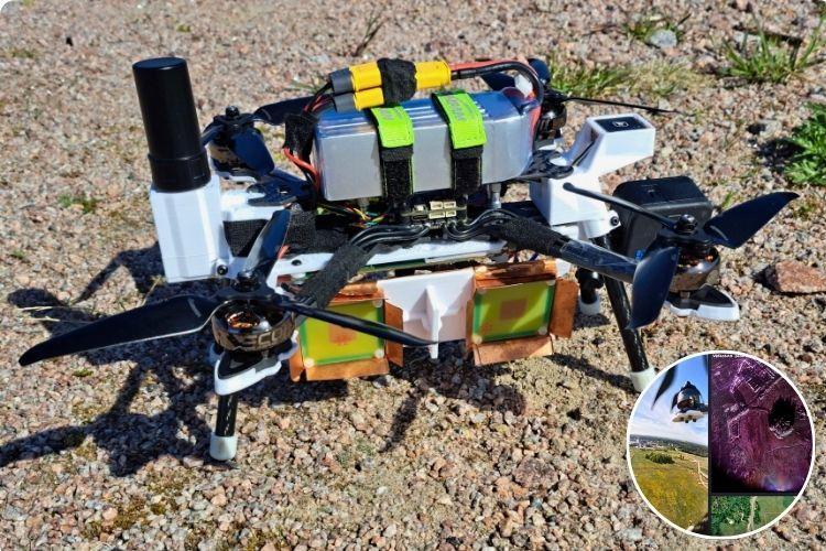
This Open-Source DIY Drone Uses FMCW Radar and RTK GPS for High-Resolution SAR Imaging and Ground Mapping This DIY drone is doing something much more than taking aerial photos. It uses a custom FMCW radar to create detailed images of the ground from the air.This is built by Henrik Forstén.The system sends radio signals toward the ground and measures the signals that bounce back. As the drone flies, it collects thousands of these measurements and combines them using Synthetic Aperture Radar (SAR)… |